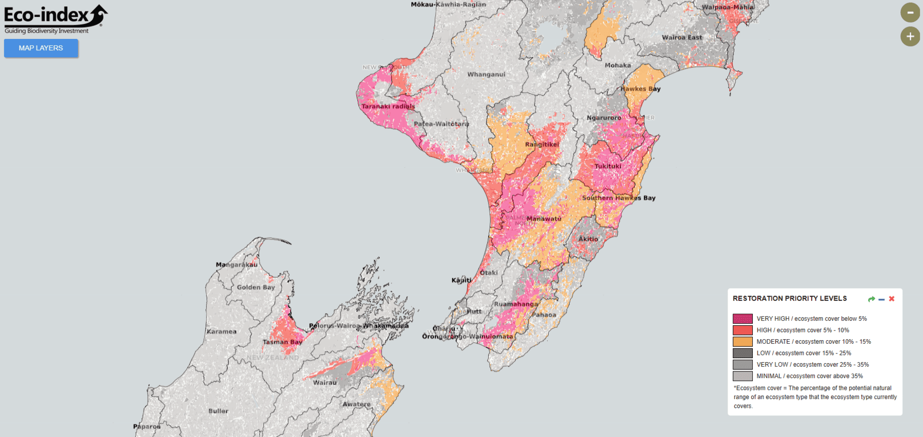
The Eco-index team have developed a digital toolkit to help reverse the decline of native biodiversity across Aotearoa New Zealand. They are committed to creating useful, open access tools to share their research findings. Working alongside data analysts and communication advisors, the interdisciplinary team are developing an interactive online map that allows users to explore science-based ecosystem restoration guidance at both catchment and national scales.
“Our team are invested in developing tools that make a difference for land managers across the country,” says John Reid, Eco-index co-lead (Ngāti Pikiao, Tainui). “We understand that our findings need to reach the people who can use them, so we’re taking the time to share our information well.”
Since 2021, the Eco-index team have been promoting a long-term vision for native ecosystems to be restored to at least 15% of their natural range. This is because research suggests that if an ecosystem can be restored to at least 15% of its natural range, the system has a better chance of stabilising, maintaining itself and sustaining biodiversity without expensive management practices.
In many places across Aotearoa New Zealand, and especially in lowland areas, native ecosystems occupy less than 2% of the area where they once flourished.
“Nationwide progress toward the 15% native ecosystem landcover goal will give us a good chance of bringing many native birds, reptiles, bats, plants and insects back from the brink of extinction,” says Kiri Joy Wallace, Eco-index co-lead. “And in areas that already have 15% cover, land managers could instead focus on protecting and restoring the full complement of species that once existed in their catchment.”

So, what might the 15% goal look like? If, for example, the natural range of Kahikatea-pukatea-tawa forest in a given catchment is 1,000 hectares but the current day forest only covers 50 hectares, the Ecosystem Restoration Map will recommend restoration of an additional 100 hectares of this forest type to reach the 15% goal.
There has been interest in the Eco-index Ecosystem Restoration Map and 15% goal from many land managers, including those representing agricultural companies, iwi, conservation and catchment groups, and business.
“This map is designed to fill an information gap for people and groups from many sectors,” says Catherine Kirby, Eco-index Communication and Relationships Manager. “We kept hearing that people were unsure where to start with their biodiversity efforts, so we designed the map as a starting point for users to explore the native ecosystems that are relevant for their catchment.”
Check out this video explainer for the Eco-index Ecosystem Restoration Map and look out for more on November 14th.
