“There’s a whole storytelling element to data interpretation, and Māori are storytellers – it’s part of our DNA,” says Corey Ruha (Te Arawa). “I think if we learn to handle data how we handle our stories, we can make some powerful changes.”

Indigenous data sovereignty – the right of Māori to develop and manage the data ecosystems that flow throughout their communities, lands, and resources – is a subject that continues to engage Corey and is centred in his mahi with Eco-index.
“It is something that can be difficult to define,” says Corey. “You can’t create rules around data sovereignty because you can’t create limits. Limits and protocols set externally defeat the purpose of what indigenous sovereignty is. Each hapū, each whānau, should be able to create their own protocols around what data sovereignty is for them.”
In March 2023, the University of Waikato’s Te Kotahi Research Institute invited Eco-index to deliver a webinar on the topic of Māori Data Sovereignty. Alongside Catherine Kirby, Eco-index’s Communication & Relationships Manager, Corey provided insights from the programme. You can view this webinar here: link.
Meanwhile, the layers of the Eco-index Ecosystem Reconstruction Map were being built . . .
“The thing with our project is that we deal with publicly accessible data. We have technical and ecological experts who have gone through it, honing, focusing and enhancing the quality of the data.”
In November 2023, the Eco-index Ecosystem Reconstruction Map (previously the Ecosystem Restoration Map) went live, providing new, free and accessible information for diversity planning.
“This year, I’ve been building a Reconstruction Heat Map at a higher resolution, to specify the best areas to reconstruct various ecosystems within the Te Arawa tribal boundaries,” says Corey.
The Reconstruction Heat Map builds on earlier Eco-index maps and uses colour gradients to identify areas most suitable for ecosystem reconstruction. Multiple attributes are considered, such as threatened environment classes, land stability, riparian margins, and where they sit in proximity to Existing Natural Areas (ENAs).
Optimal conditions for ecosystem reconstruction, where the above attributes stack up, are represented by hotter colours.
“Data can look real ugly, but through mapping it can be made accessible and intuitive,” says Corey.

Corey’s aim is to continue to refine the reconstruction heat map for Te Arawa, and to involve the users – iwi, hapū and whānau – in that process.
“I would love to begin building capacity and capability,” he says. “I’ve already started organising a data workshop within Te Arawa for the middle of this year, building leadership and a wider community understanding of data and how we can utilise it.”
Corey’s role with Eco-index involves developing the Reconstruction Heat Maps for a range of clients and partner organisations.
The strong demand for Eco-index’s digital tools means they will continue their mahi beyond the conclusion of the Biological Heritage National Science Challenge (which ends June 30) with both research and commercial activities.
“We’re entering the unknown beyond June and it’s super exciting to be a part of this research project turned eco-tech venture!”
Corey Ruha
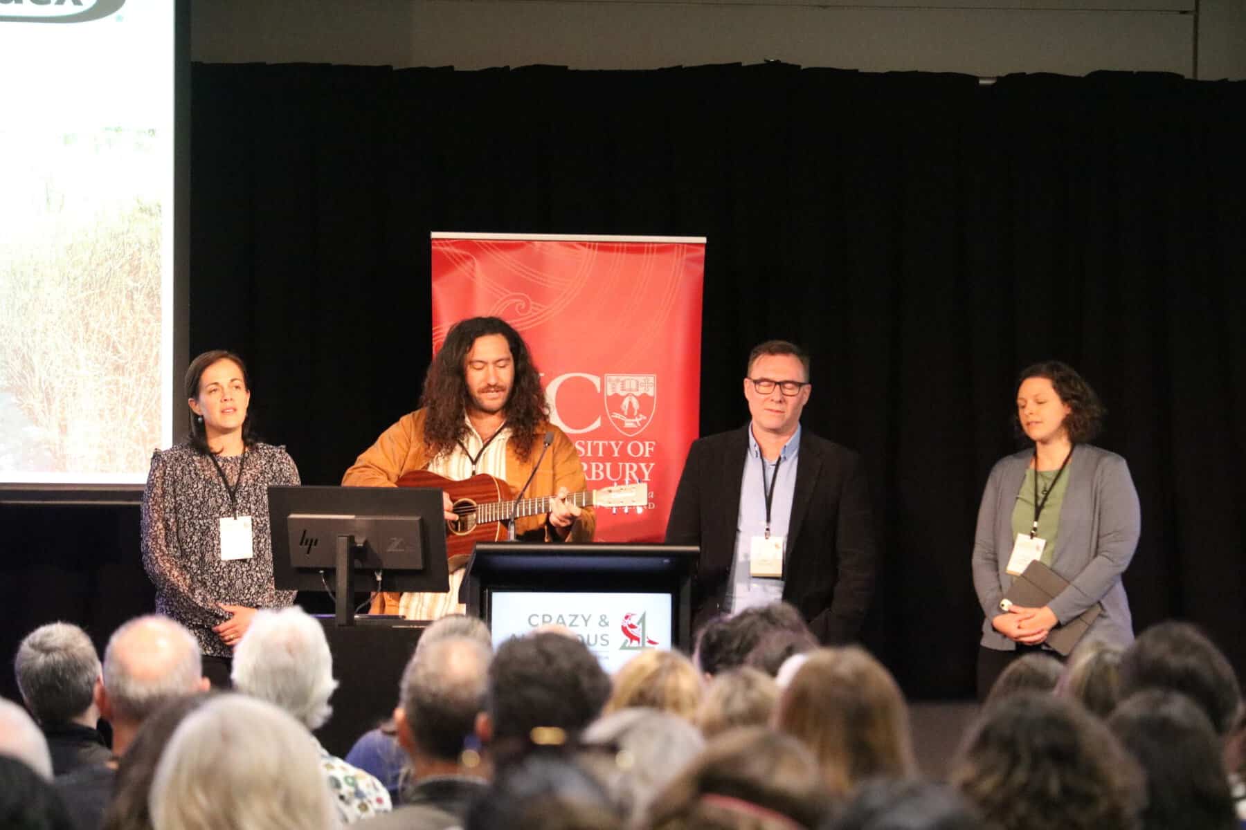
Earlier this month, at Crazy & Ambitious 4, Corey presented with his Eco-index teammates for “Eco-index tech toolkit: optimising biodiversity impact” during the Whakamana segment.
Eco-index concluded their session with a rendition of the waiata Tōia Mai Te Waka Nei accompanied by Corey’s beautiful guitar work. Keep an eye out for the release of Crazy & Ambitious 4’s recordings, due to be released in May.
Elements of Corey’s work were funded by a Ngā Pī Ka Rere grant.
Kerry Donovan Brown
