

Julie Deslippe, a Senior Lecturer at Te Herenga Waka – Victoria University of Wellington, is one of many researchers working to reverse the decline of wetland health in the Wairarapa and nationally.
“I’ve been working in the Wairarapa for about a decade now. “If there’s one message that I get from Wairarapa iwi, it’s that they want the lake clean. They want to reestablish a native fishery, so a lot has to change in wetlands to meet that aspiration for the lake.”
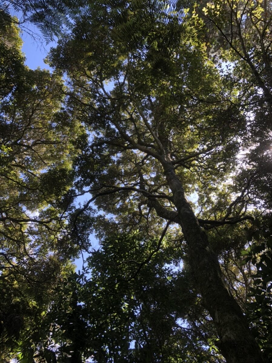
To revitalize Wairarapa wetlands, Julie and a team of researchers have been working on a model to predict where swamp maire might do best in the landscape.
“Local iwi, communities and government want to conserve swamp maire specifically,” says Julie. “They know it occurs in their region and that it’s endangered, but they don’t know where to plant it, especially when the threat of myrtle rust is looming.”

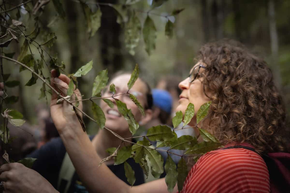
In general, modelling uses known information to make predictions about unknown situations. Julie and the team have been gathering fine-scale habitat suitability data to inform the model and understand where swamp maire have the best chance of surviving once planted.
However, a knowledge gap opened wide when myrtle rust was detected in New Zealand in 2017. As myrtle rust has spread, it has been discovered that swamp maire is one of the most susceptible plants.
“This realisation was like an injection of adrenaline for all of us working in wetland forest conservation and restoration,” says Julie. “An emerging threat like an invasive pathogen can push rare and fragmented populations to extinction.”
The model the team has developed accounts for myrtle rust. The team have used climate and hydrology data to determine where swamp maire could be restored to the landscape. Then, they’ve incorporated myrtle rust risk information, that has been generated by others in the myrtle rust research community, to identify landscapes that would be least suitable for myrtle rust.
Importantly, the model also includes “distance to roads”.
“When species become so restricted and their populations become so depleted, they need a lot of human effort to sustain and protect them, so they can persist,” says Julie. “Human access to where these species are is really important to consider for restoration investments.”
What the model generates is maps. These maps show the best places to restore swamp maire in the Greater Wellington Region according to the suitability of the habitat and proximity to the people who will be actively restoring these habitats and monitoring for and managing myrtle rust.
“We intend to share these maps with regional and city councils and through our networks of community groups – there are over 140 restoration groups in the Greater Wellington Region.”
Before these maps are made available, a manuscript reporting the results is undergoing peer review via a formal academic publication process.
This ensures that the maps that are released to restoration groups will be as rigorous as possible.
“The high spatial resolution and the combination of different data types are the most novel aspects of our work. Our approach enables us to identify restorable refugia for swamp maire in the Greater Wellington Region, which is something that has not been possible in the past using previous approaches.”
Julie is looking forward to delivering these high spatial resolution maps to users who want to restore swamp maire to functional wetlands, and she is particularly excited to deliver these maps to mana whenua.
“Mana whenua have expressed interest in being leaders in the swamp maire restoration effort locally,” says Julie. “We all want this to be Māori-led and are working in partnership with Māori to make this happen.”
This research was funded by Bioprotection Aotearoa and aligns with work being done under Ngā Rākau Taketake Theme 7: Conservation & Restoration.
Jenny Leonard