

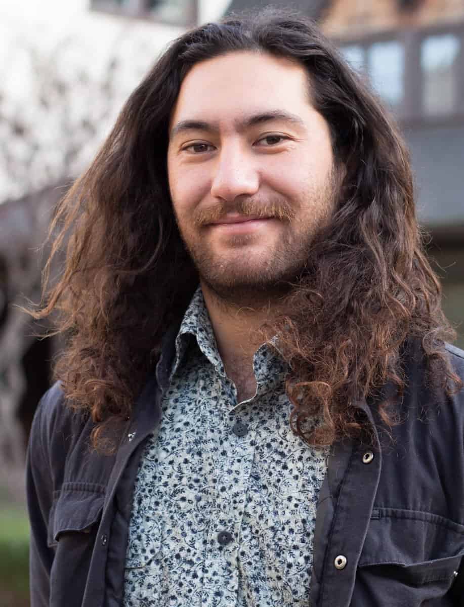
Corey Ruha grew up in Australia, where he did a Bachelor of Mechanical Engineering.
“I whakapapa strongly to Te Arawa Waka, between Rotorua and Taupō,” says Corey. “After completing my bachelor’s, I felt a real call from home to come back.”
He worked in the geothermal industry for a while before he received an overseas exchange scholarship to study public policy in the US for six months.
“Public policy opened my eyes to how research activities feed into a space of interpretation,” Corey says. “From that interpretation, you get regulations, policy and legislation.”
Corey saw that while people in that public policy space relied on research to inform their decision-making, sometimes there was a gap between how research was presented and how it was interpreted. This became apparent to Corey in his work with the Te Arawa Lakes Trust, which represents 56 hapū from the confederated tribes of Te Arawa, Ngā Pūmanawa e Waru o Te Arawa, (the eight beating hearts of Rangitihi).
“There are people who are wanting to understand what’s happening with the environment and the land,” says Corey. “They want to know what they can do to help, but the information is inaccessible when it’s just science talk.”
Corey found that GIS was a powerful tool that could be used to bridge the gap between science and action.
“If you can make information into a story, it’s much more accessible and digestible for people, rather than looking at your classic graphs, tables, charts.”
Te Urunga o Kea – Climate Change Coordinator Lani Kereopa recommended Corey to work with the Eco-index team on behalf of the Te Arawa iwi collective. Through shared endeavours between Eco-index and Te Arawa, the idea emerged to support Te Arawa catchment biodiversity mapping and restoration planning. The data sets collected will also support the iwi in the development of policy and target setting within the catchment.
Eco-index has been excited to fund the project and to provide support in the form of knowledge and tools.
“The rest of the Eco-index data science team are focused on remote sensing, looking at the applications of different tech, and incorporating AI within all of that to be able to sift through the data and pull out what we need,” says Corey. “It’s cool to have all that diversity and also to be bringing that diversity together.”
As much as there is complexity to mapping available data in a visually understandable way, there is also complexity in the data itself. For example, the team has been navigating the definitions and boundaries of indigenous data sovereignty.
“We’re looking at what data is for us and what is for everyone,” says Corey. He has appreciated that this process hasn’t been rushed. “I feel like the time is being taken to really think this out, and that’s one of the reasons why I really enjoy the Eco-index team.”
Corey hopes that using Te Arawa as a case study will help in the development of a template that can be used by other iwi in other places around Aotearoa in similarly applicable research contexts.
“I see so much that can come from this project,” says Corey.
Jenny Leonard